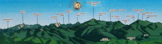
ADIRONDACK
46 HIGH PEAKS
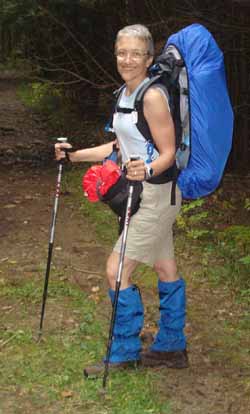
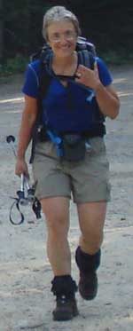
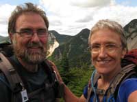
Gabriel & Mary-Lou
LIST OF ALL THE DATES
HERE
|
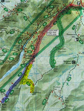
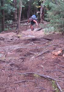
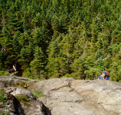
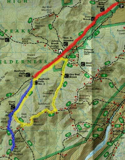
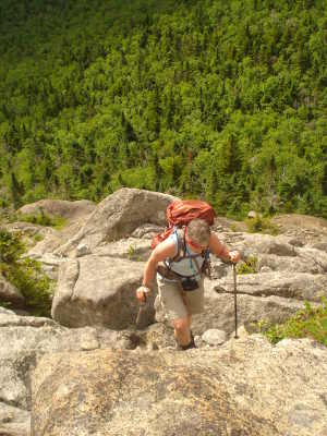
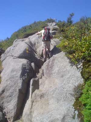
GOTHICS ~
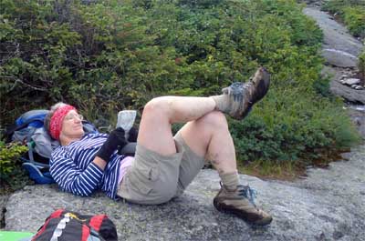
SUNDAY, June 18th 2006
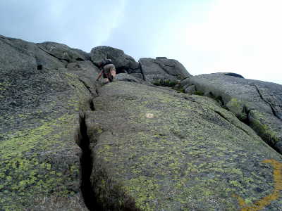
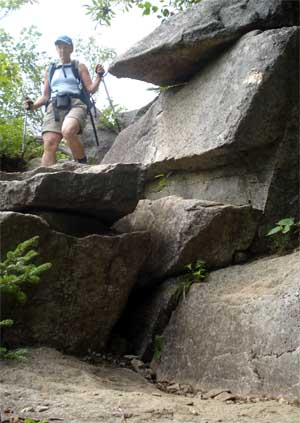
KNEES I
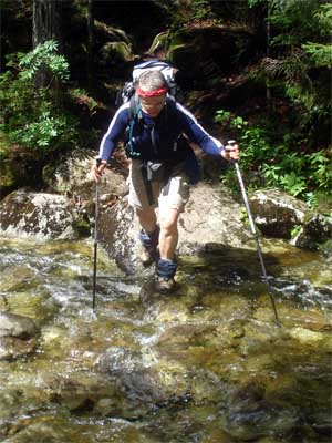
was careful all day.. used my poles up and down except for the part that had
cables.. and my knees gave me no problems at all.
wheather : Warm and sunny.. hot at the top
|
||||||||||||
|
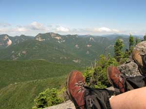
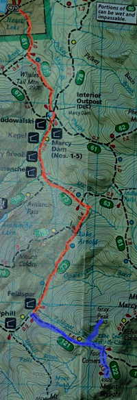
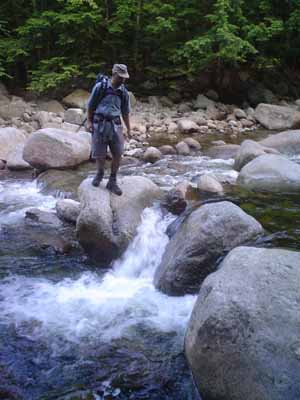
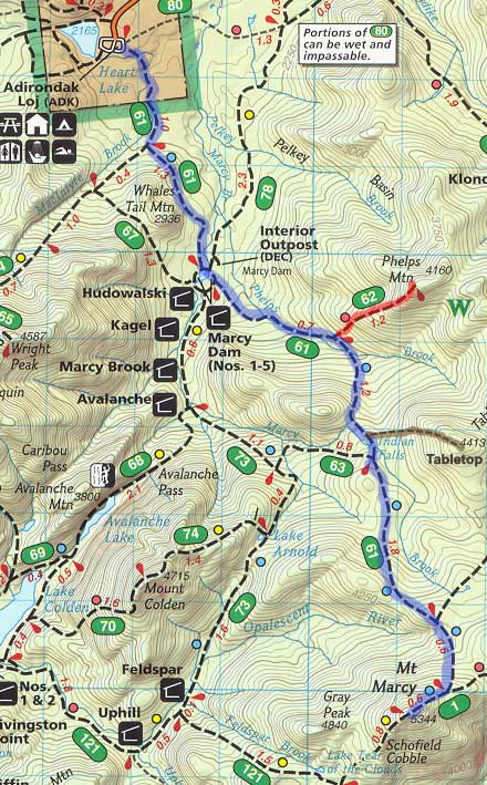
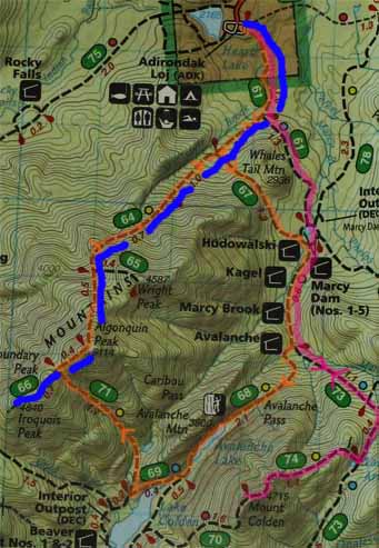
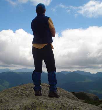
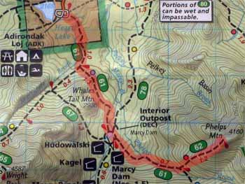
MARCY
~
SATURDAY,
September 1st 2007
UP Starting at Adirondak Loj to about 0,6 mi from the top
BED AT 00h30 AM |
|||||||||||||
|
ALGONQUIN PEAK
~ THURSDAY,
July 29th 2010
BED AT 9h00 PM Whispering Pine
Campground, 4582 Cascade Road
(Route 73)
Lake Placid 518-523-9322 |
|
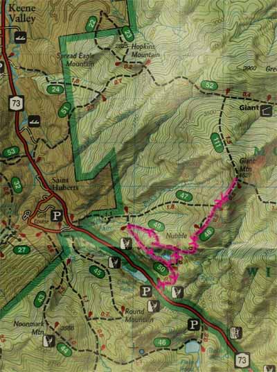
GIANT
~ FRIDAY,
July 30th 2010 Forecast for Keene as of
Wednesday July 28th :
BED AT 9h00 PM
Whispering Pine Campground, 4582 Cascade Road (Route
73) Lake Placid 518-523-9322 |
|
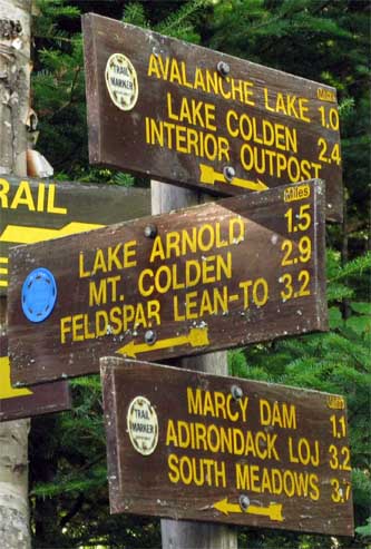
COLDEN
~ SATURDAY,
July 31st 2010 Forecast for Keene as of
Wednesday July 28th :
Just across the lake from
Algonquin Peak
BED AT 9h00 PM
Whispering Pine Campground, 4582 Cascade Road (Route
73) Lake Placid 518-523-9322
|
|
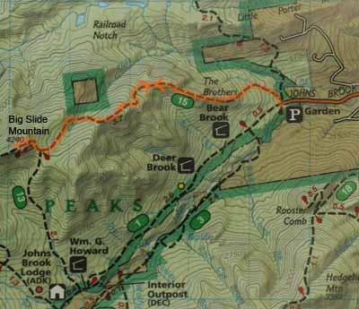
BIG SLIDE
~ SUNDAY,
August 1st 2010
via The Brothers
CAR TRIP HOME 4-7 pm |
|
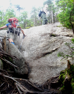
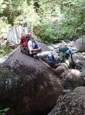
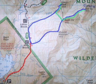
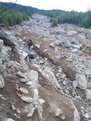
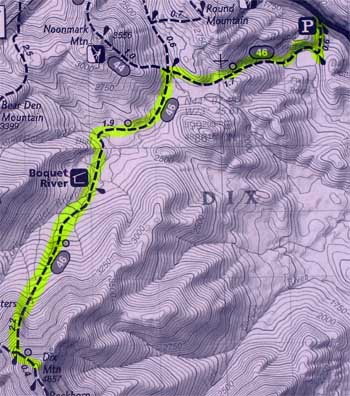
DIX
~ WEDNESDAY, July
27th 2011
UP
4h59 mins
BED AT 9h00 Camping day 2 Lincoln Pond Campground #20 / 4363 Lincoln Pond Road Elisabethtown, NY 12932 (518) 942-5892 |
|
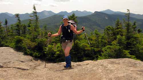
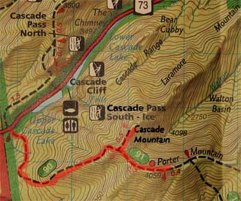
CASCADE & PORTER
~ THURSDAY, July
28th 2011
UP
1h57 mins BED AT 9h00 PM at TMax-n-Topo's Jackrabitt Hostel 5046 Cascade Road (Route 73) Lake Placid 518-523-0123 http://tmax-n-topo.com/ "Dixes" |
||||
|
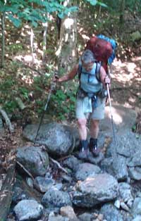
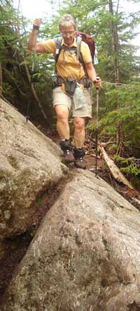
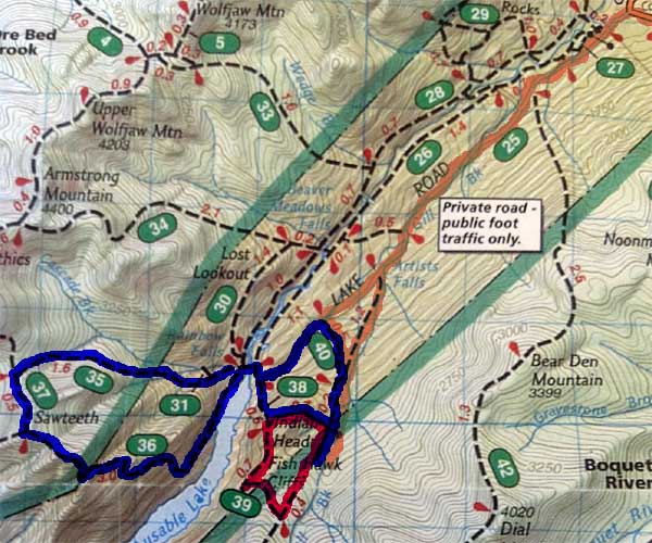
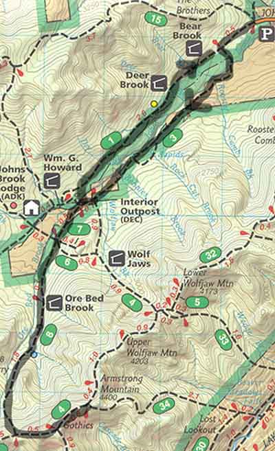
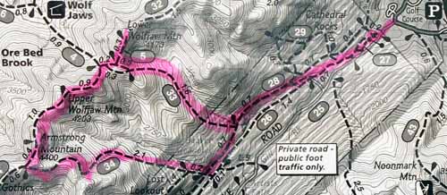
LOWER WOLFJAW, UPPER WOLFJAW & ARMSTRONG
UP TO LWJ TRAIL :
Wedge Brook Trail BED AT 9h30 PM at TMax-n-Topo's Jackrabitt Hostel 5046 Cascade Road (Route 73) Lake Placid 518-523-0123 http://tmax-n-topo.com/ "Dixes" |
||||
|
WRIGHT
~
SATURDAY, July
30th 2011
UP
2h40 mins
BED AT 9h30 PM at TMax-n-Topo's Jackrabitt Hostel 5046 Cascade Road (Route 73) Lake Placid 518-523-0123 http://tmax-n-topo.com/ "Dixes" |
|
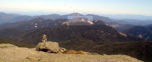
PHELPS
~
SUNDAY, July
31st 2011
UP
2h37 mins BED AT 9h30 PM Camping day 1 KOA Lake Placid / Whiteface KOA 77 FoxFarmRoad / Wilminton NY 12997 (800) 562-0368 |
||||
|
|
|
WHITEFACE
Wilmington trail
&
ESTHER
Unmarked
TUESDAY, August
2nd 2011
UP TO WHITEFACE BED AT 9h00 PM Camping day 3 KOA Lake Placid / Whiteface KOA 77 FoxFarmRoad / Wilminton NY 12997 (800) 562-0368 |
||||
|
IROQUOIS
~ SATURDAY, August
20th 2011
BED AT 9h00
Camping day 2
Whispering Pine Campground, 4582 Cascade Road (Route 73) Lake Placid
518-523-9322 |